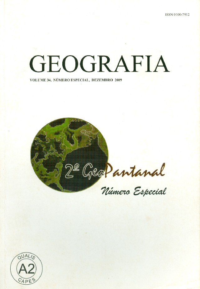
Gráficos Coloridos, Edição bilíngue Português/Inglês.
Vol 40, Número Especial, Agosto 2015.
ARTICLES: geotechnologies applied to mapping of environmental fragility in the desbarrancado river basin MS, spatial and limnological caracterization of the Paraguai river floodplain area southern Pantanal with emphasis on the “decoada” phenomenon, quantification of flooded areas of Pantanal by sub-pixel classification of MODIS time-series data, apahial-temporal dynamics of Pantaneiro livestock raising, intensity of anthropic action in the Diamentino river sub-basin Mato Grosso state Brazil, agroclimatic zoning of crambe and bean for the Bacia do Alto Paraguai MT Brazil, analysis on the susceptibility to erosion and land use conflicts by geotechnologies in the micro-region Jauru Mato Grosso state Brazil, …
Este texto apresenta a operacionalização, através das geotecnologias, do procedimento metodológico-operacional, intitulado na literatura nacional como Land Systems, aplicado ao Pantanal de Cáceres, no estado de Mato Grosso, com o objetivo de identificar e caracterizar as unidades ambientais desse sistema. Foram identificadas, no espaço geográfico investigado, trinta e três unidades, assim distribuídas: dezesseis em Áreas não-inundáveis, nove em Áreas inundáveis e oito em Áreas inundadas. Estas foram caracterizadas e representadas por meio de um mapa-síntese. Palavras-chave: Geotecnologias. Zoneamento. Unidade ambiental. Pantanal de Cáceres/MT-Brasil. Geotechnologies applied to identify and characterize the environmental units Pantanal of Cáceres/MT-Brazil This text presents the operationalization, using the geotechnologies, of the methodological-operational procedure, entitled in the national literature as Land Systems applied to the Pantanal of Cáceres, in the State of Mato Grosso – Brazil, with the objective to identify and characterize the environmental units of that environmental system. It has been identified in that geographical space thirty-three units distributed as follow: sixteen in no flooding areas, nine in flooding areas and eight in flooded areas. These had been characterized and represented in a map-synthesis. Key words: Geotechnologies. Zoning. Environmental unit. Pantanal of Cáceres/MT-Brazil.
Geografia Volume 40 Número Especial Agosto 2015 – 5º GeoPantanal
R$ 15,00
Parcele em: 5x de R$ 3,37
Autor(a): DESCONHECIDO
Editora: DESCONHECIDO Ano: 2015
Área: GEOGRAFIA Obs.: Livro em boa conservação
Foto da capa: ILUSTRATIVA
Confira o valor mínimo para FRETE GRÁTIS
Em estoque
Descrição
Gráficos Coloridos, Edição bilíngue Português/Inglês.
Vol 40, Número Especial, Agosto 2015.
ARTICLES: geotechnologies applied to mapping of environmental fragility in the desbarrancado river basin MS, spatial and limnological caracterization of the Paraguai river floodplain area southern Pantanal with emphasis on the “decoada” phenomenon, quantification of flooded areas of Pantanal by sub-pixel classification of MODIS time-series data, apahial-temporal dynamics of Pantaneiro livestock raising, intensity of anthropic action in the Diamentino river sub-basin Mato Grosso state Brazil, agroclimatic zoning of crambe and bean for the Bacia do Alto Paraguai MT Brazil, analysis on the susceptibility to erosion and land use conflicts by geotechnologies in the micro-region Jauru Mato Grosso state Brazil, …
Este texto apresenta a operacionalização, através das geotecnologias, do procedimento metodológico-operacional, intitulado na literatura nacional como Land Systems, aplicado ao Pantanal de Cáceres, no estado de Mato Grosso, com o objetivo de identificar e caracterizar as unidades ambientais desse sistema. Foram identificadas, no espaço geográfico investigado, trinta e três unidades, assim distribuídas: dezesseis em Áreas não-inundáveis, nove em Áreas inundáveis e oito em Áreas inundadas. Estas foram caracterizadas e representadas por meio de um mapa-síntese. Palavras-chave: Geotecnologias. Zoneamento. Unidade ambiental. Pantanal de Cáceres/MT-Brasil. Geotechnologies applied to identify and characterize the environmental units Pantanal of Cáceres/MT-Brazil This text presents the operationalization, using the geotechnologies, of the methodological-operational procedure, entitled in the national literature as Land Systems applied to the Pantanal of Cáceres, in the State of Mato Grosso – Brazil, with the objective to identify and characterize the environmental units of that environmental system. It has been identified in that geographical space thirty-three units distributed as follow: sixteen in no flooding areas, nine in flooding areas and eight in flooded areas. These had been characterized and represented in a map-synthesis. Key words: Geotechnologies. Zoning. Environmental unit. Pantanal of Cáceres/MT-Brazil.